
ESG Data Dashboard
Category:
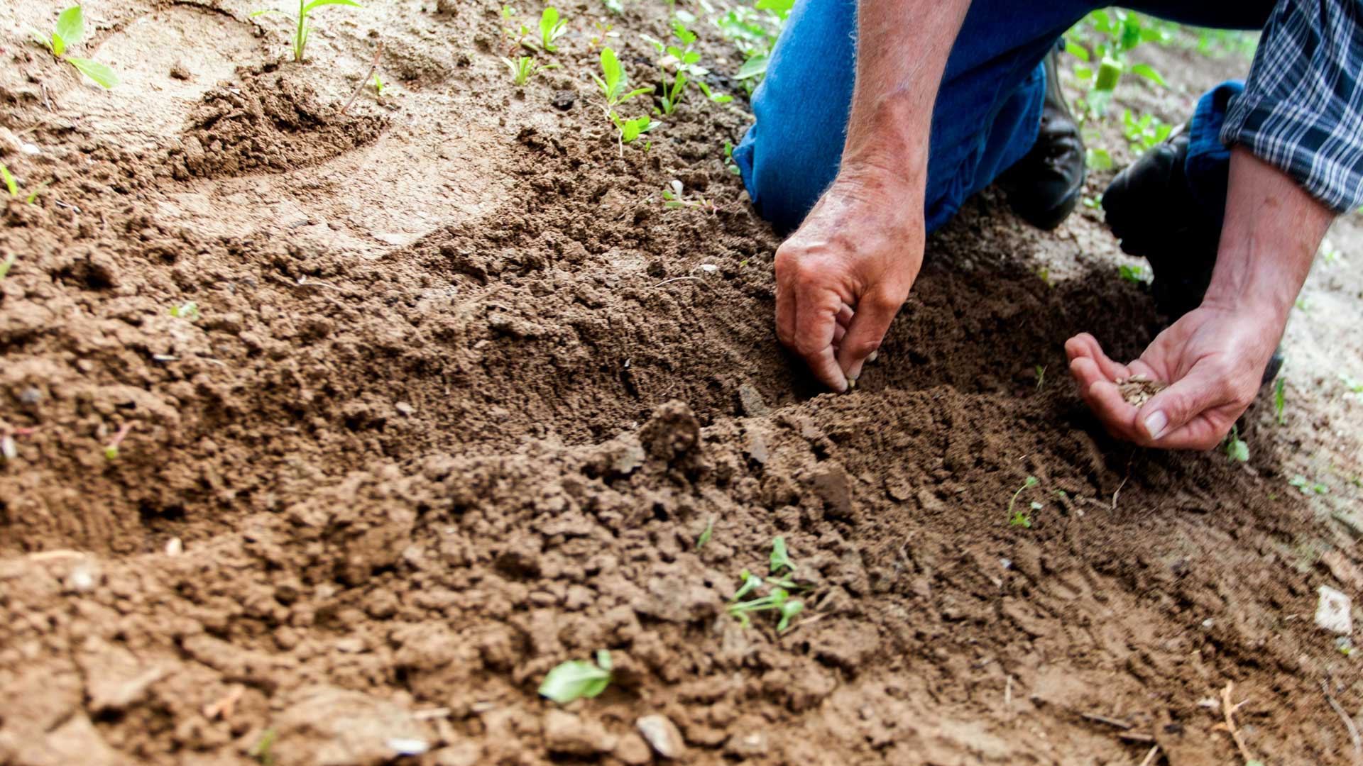
Environmental indicators
Risk type:
Land use
Indicator:
Soil and sediment depletion
Provider:
ENCORE
Global relative rate of natural capital depletion of soil and sediments, measured through soil erosion, change in soil salinity, and change in soil carbon stocks. Depletion values were sorted from highest to lowest and split into 5 quantiles. The highest 20% relative depletion values correspond to hotspots, where human activities will be associated with higher risks of ecosystem service loss or degradation
-
Source/link:
-
Unit:Classes (0-5)
-
Data type:Statistics
-
Geographical scope:World
-
Frequency of data aggregation:NA
-
Time coverage (from year):NA
-
Time coverage (to year):NA
-
Available for download in xls/csv:NO
-
Can be disclosed in other formats:NO
-
Interactive map/graph available:YES
Lorem Ipsum is simply dummy text of the printing and typesetting industry.