
ESG Data Dashboard
Category:
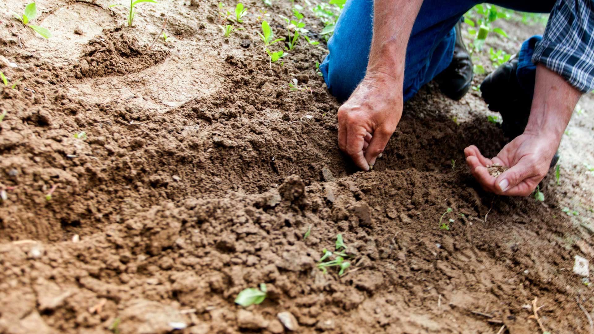
Environmental indicators
Risk type:
Land use
Indicator:
Soil utilization
Provider:
ISPRA
The indicator describes land use (agricultural, urban, industrial or commercial, infrastructure, recreational, natural and semi-natural, water bodies, etc.), reporting the territorial surfaces relating to the different classes according to the CORINE Land Cover classification system
-
Source/link:
-
Unit:km2
-
Data type:Statistics
-
Geographical scope:Italy
-
Frequency of data aggregation:1990; 2000; 2006; 2012; 2018
-
Time coverage (from year):1990
-
Time coverage (to year):2018
-
Available for download in xls/csv:YES
-
Can be disclosed in other formats:NO
-
Interactive map/graph available:NO
Lorem Ipsum is simply dummy text of the printing and typesetting industry.