
ESG Data Dashboard
Category:
Environmental indicators
Risk type:
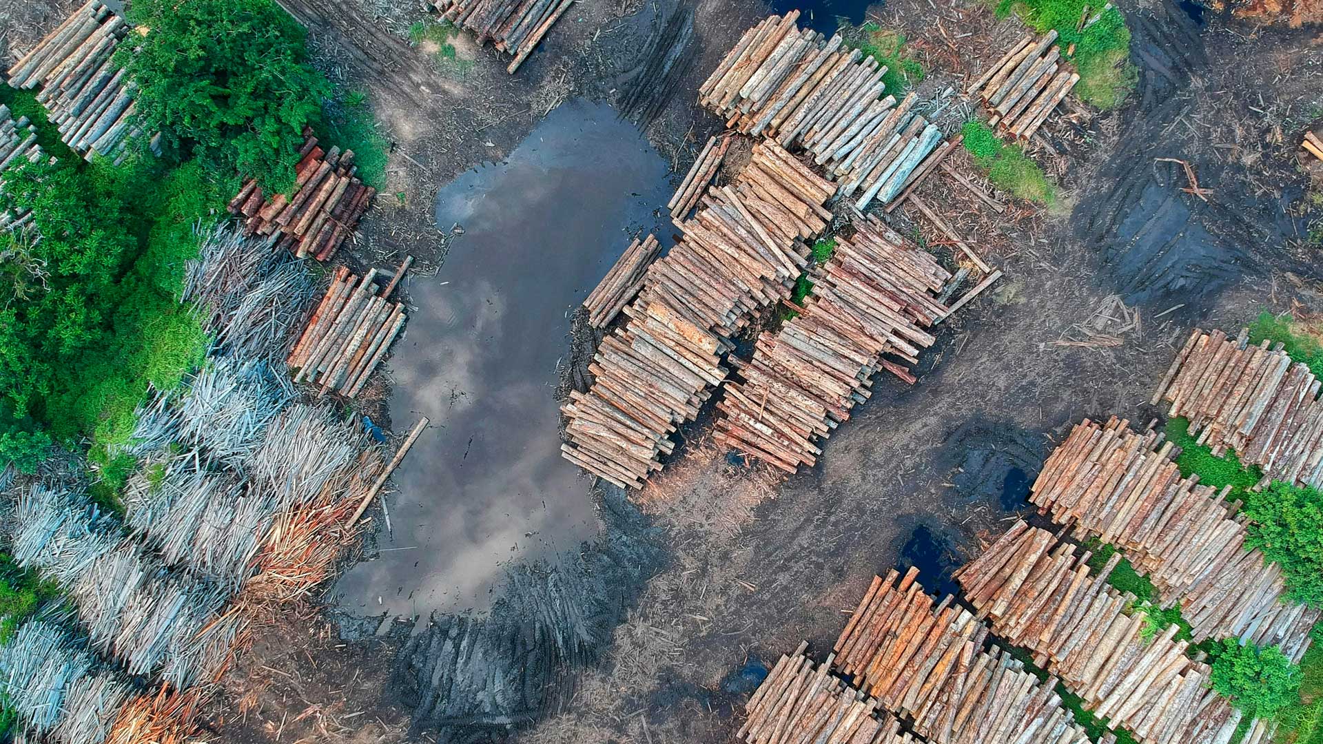
Deforestation
Indicator:
Soil consumption levels in protected areas
Provider:
ISPRA
It assesses the amount of land consumed and new land consumption within the territory of Italian terrestrial protected areas that are included in the Official List of Protected Areas (EUAP, last updated in 2010), and is assessed with reference to National Parks, Nature Reserves (state and regional), Regional Nature Parks and other types of national and regional protected areas
-
Source/link:
-
Unit:%
-
Data type:Statistics
-
Geographical scope:Italy
-
Frequency of data aggregation:Annual
-
Time coverage (from year):2006
-
Time coverage (to year):2022
-
Available for download in xls/csv:YES
-
Can be disclosed in other formats:NO
-
Interactive map/graph available:YES
Lorem Ipsum is simply dummy text of the printing and typesetting industry.